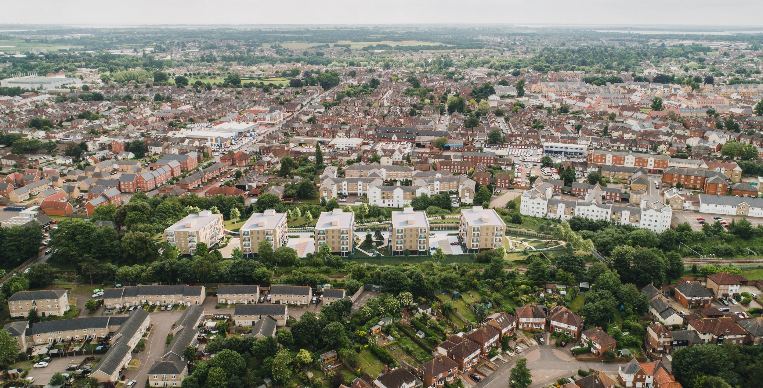
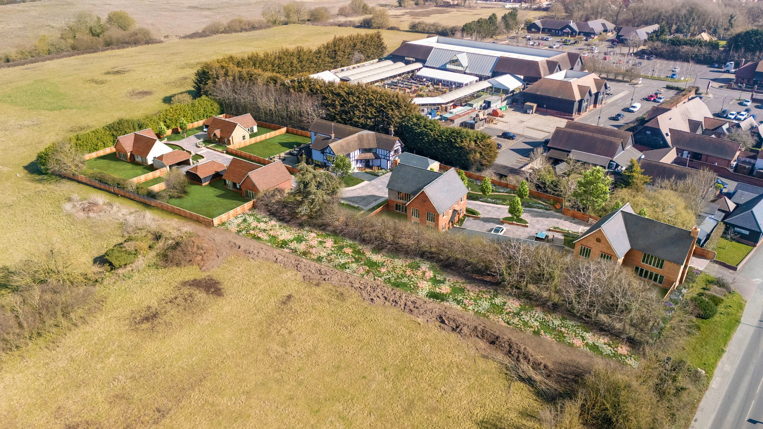
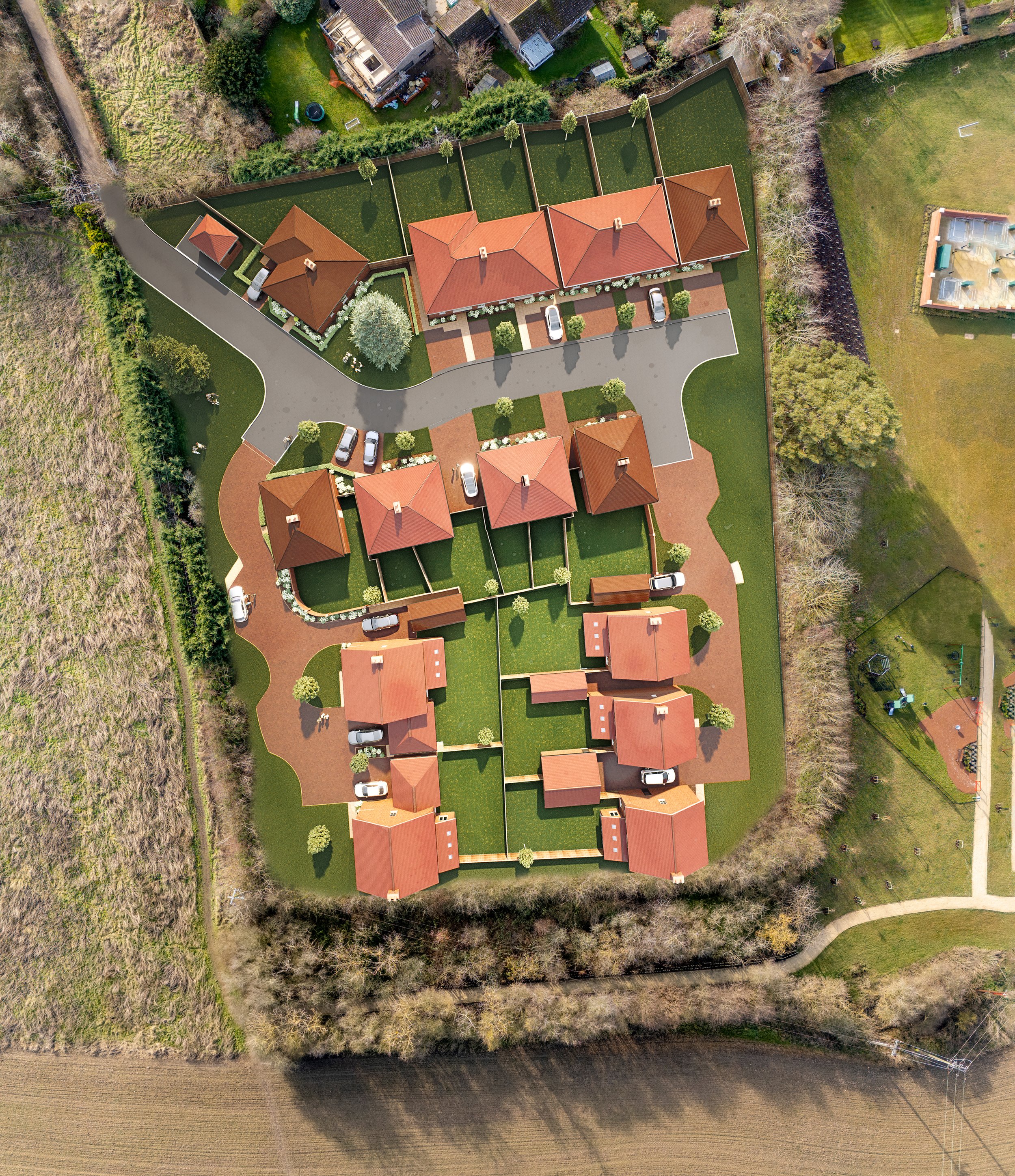
Drone & 3D visual representations
We utilize drone photography as a foundational element to incorporate CGI proposals, resulting in highly informative contextual images. These images not only showcase the proposed developments but also illustrate how they integrate and interact with the existing environment. This approach allows for a comprehensive visual representation, enabling developers & the planning pipeline to better understand the impact and relevance of the proposals within their surroundings. By combining drone aerial photography with CGI.